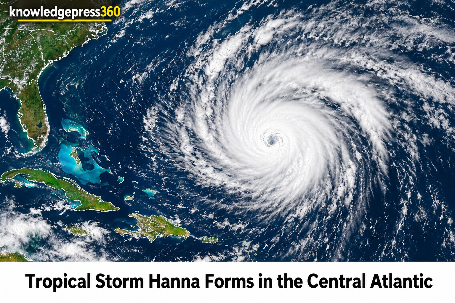
The 2026 Atlantic hurricane season has recorded another open-water formation with the emergence of Tropical Storm Hanna in the central subtropical Atlantic. While oceanic systems during the peak months of the calendar year frequently trigger coastal anxieties, this particular system developed far from populated shores, presenting no immediate danger to landmasses. The National Hurricane Center initiated advisories on Monday, September 28, marking Hanna as the eighth named storm of the current annual cycle. Meteorology experts continue to track its trajectory across the open ocean, providing essential data regarding its wind structure, barometric pressure, and anticipated transition into a post-tropical remnant over the coming days.
Subtropical Atlantic Formation
Advisory updates issued by the National Hurricane Center placed the newly formed system roughly 960 to 1,625 miles east-northeast of Bermuda. Operating far out in open waters, the system packed maximum sustained winds reaching 45 miles per hour alongside higher gusts. Meteorologists recorded a minimum central pressure of 1002 millibars, while tropical-storm-force winds extended outward up to 90 miles from the central circulation point.
Initial movement carried the cyclone toward the east-southeast at speeds varying between 14 and 17 miles per hour. Because the development occurred safely away from any continental landmasses, authorities issued no coastal watches or warnings. Shipping lanes and maritime operators received standard advisory notices, but terrestrial populations experienced no disruptions. The storm's emergence underscored a remarkably subdued period of tropical cyclogenesis across the broader basin, contrasting sharply with historical averages for late September.
Suppressed Basin Activity
The sluggish pace of the 2026 Atlantic hurricane season has drawn consistent attention from climatologists and forecasters. Large-scale oceanic and atmospheric drivers, notably an impending Super El Niño pattern, have significantly suppressed storm generation and intensity across the basin. Despite numerous named systems forming since the official start of the season on June 1, none have evolved into major hurricanes, reflecting an unusual atmospheric environment characterized by hostile wind shear and stable air masses aloft.
Alongside Hanna, the National Hurricane Center maintained surveillance on other weak open-water disturbances, including Tropical Depression Fay. Operating thousands of miles away from coastal zones, these concurrent systems highlight the atypical nature of the current meteorological phase. Forecasters note that while the calendar indicates the historical peak of the hurricane season, the actual atmospheric response remains muted due to overarching global climate influences that inhibit robust convective development.