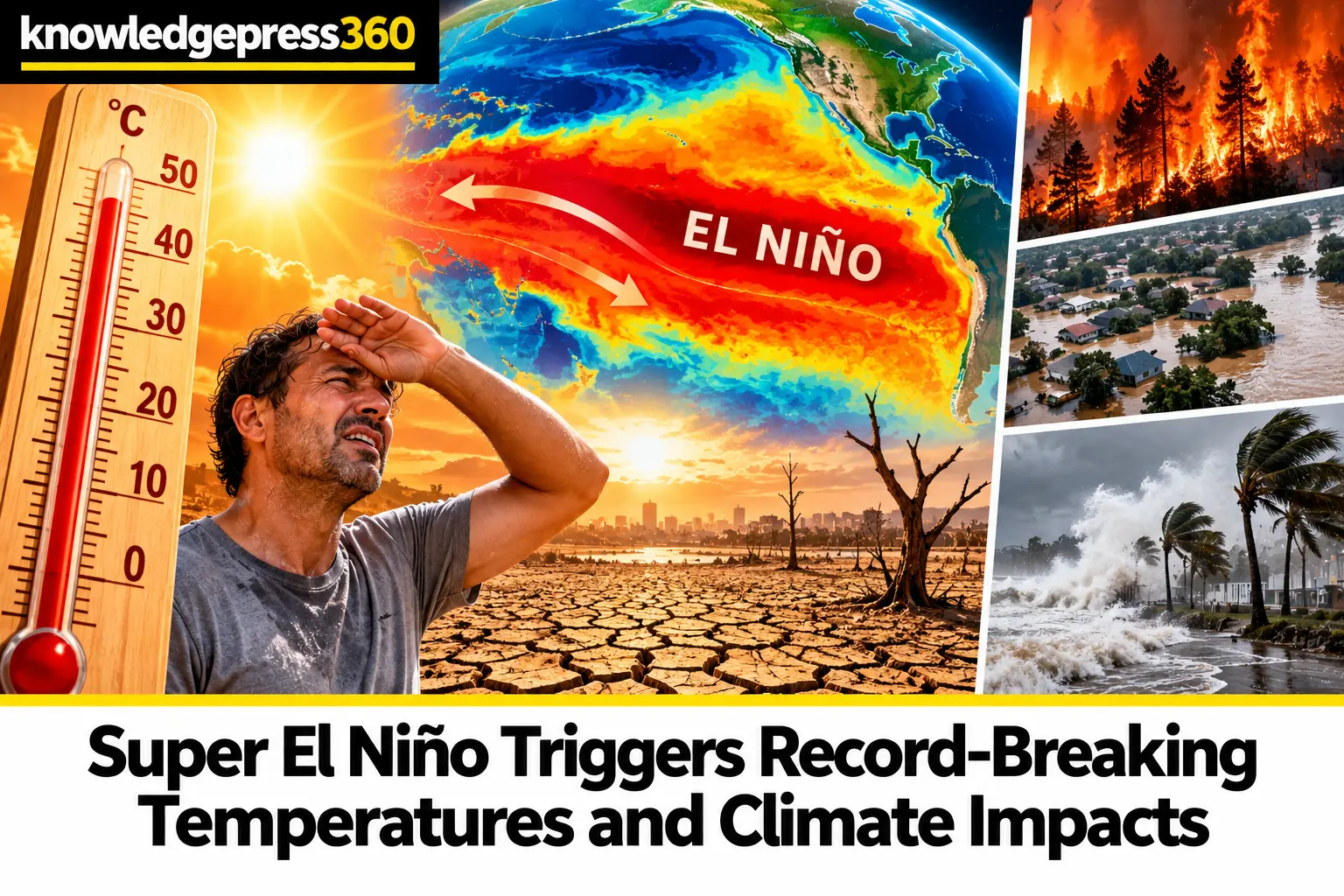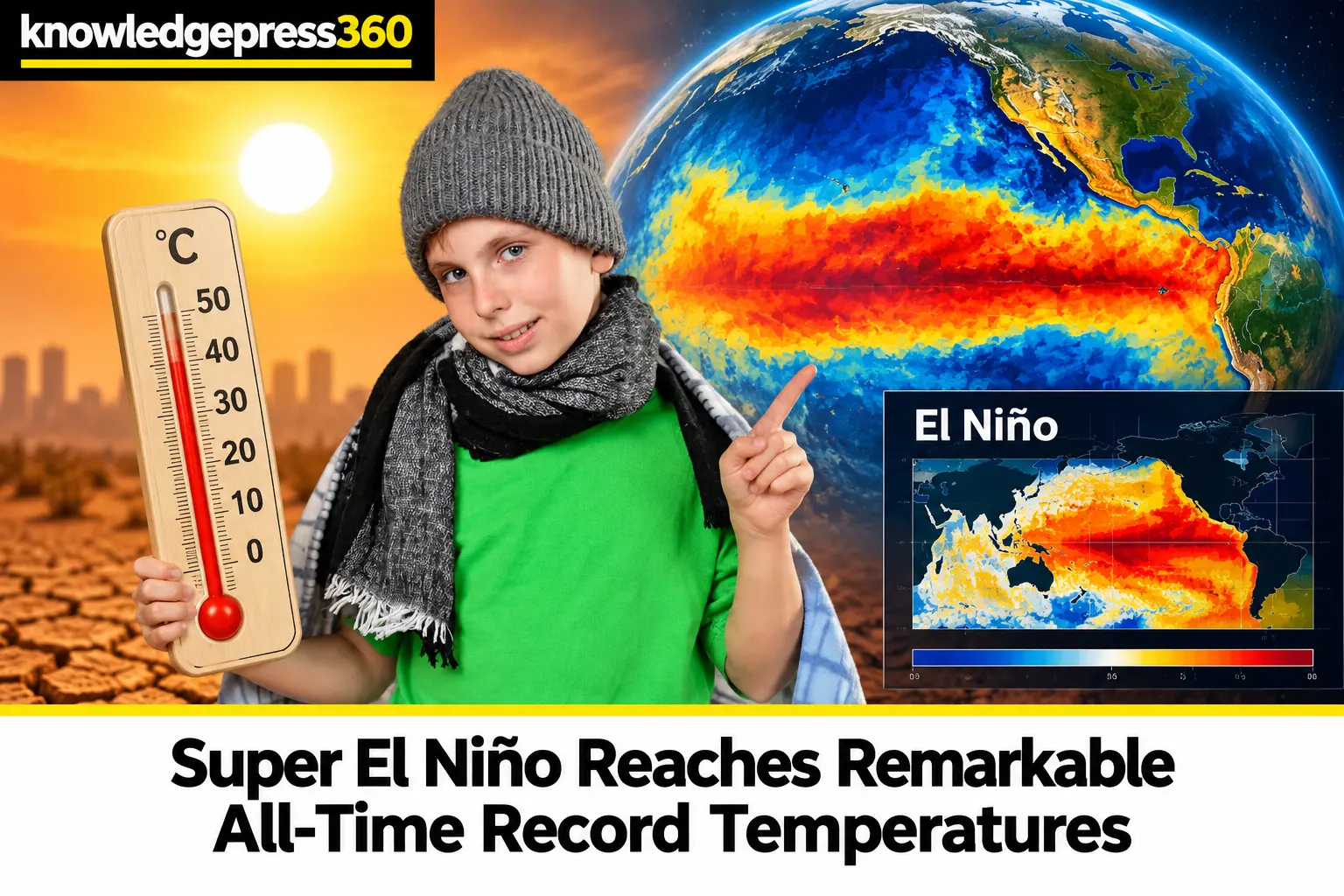
The exceptionally strong El Niño event currently underway in the tropical Pacific Ocean has surged into uncharted territory, matching or exceeding all-time historical observations. Meteorological analyses indicate that daily sea surface temperature anomalies in the critical Niño 3.4 region have reached between 3.05 and 3.07 degrees Celsius above average. This rapid escalation places the current weather pattern in a statistical tie with, or surpassing, the previous peak daily record of 3.08 degrees Celsius set on November 18, 2015, during that decade's severe super El Niño episode. As nations grapple with compounding climate pressures, understanding the velocity of this Pacific warming event is vital for anticipating widespread agricultural shifts, altered storm tracks, and long-term ecological consequences across multiple continents.
Unprecedented Pacific Warming Velocity
Independent meteorologists and tracking agencies have highlighted that the current phenomenon is developing at a speed unlike any previously recorded episode. Following its initial emergence in the tropical Pacific around June, the system accelerated rapidly, achieving extreme temperature thresholds approximately two months earlier in the calendar year than the 2015 benchmark. Typically, El Niño episodes follow a seasonal trajectory that culminates in a winter peak during November or December. Because every strong historical El Niño has continued to intensify past mid-September, scientists anticipate that current sea surface temperatures will climb even higher before the natural cycle eventually plateaus and reverses.
Global Climate and Weather Disruption
Ocean warmth of this extraordinary magnitude functions as a potent amplifier for global weather dynamics, triggering severe regional impacts across agricultural belts and storm corridors worldwide. According to meteorological assessments from the National Oceanic and Atmospheric Administration and associated forecasting bodies, El Niño significantly alters precipitation and temperature distributions. Fall and winter months typically experience cooler, wetter conditions across the southern United States, contrasting sharply with warmer, drier anomalies across northern territories. These shifts present immediate challenges for water resource managers, agricultural planners, and disaster response teams who must prepare for erratic weather extremes driven by the intensified baseline warmth of the Pacific basin.
Persistent Tracking and Future Outlook
Significant scientific uncertainties remain regarding the exact peak magnitude this super El Niño will attain before entering its natural decay phase, as well as the precise localized severity of its trailing impacts through the upcoming winter and spring. Researchers are also examining historical context, such as historical reconstructions of the intense 1877 to 1878 El Niño, though modern observational tools offer unprecedented precision for today's data. Observers will closely monitor updated tracking data from meteorological agencies over the coming two months to measure the rate of continued warming and evaluate unfolding climate anomalies across both northern and southern hemispheres.