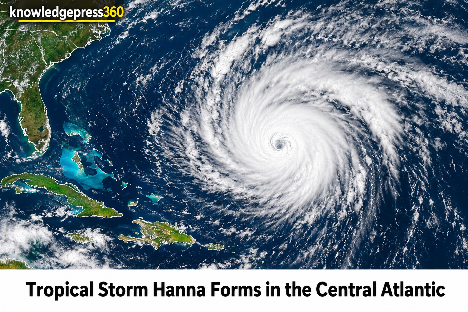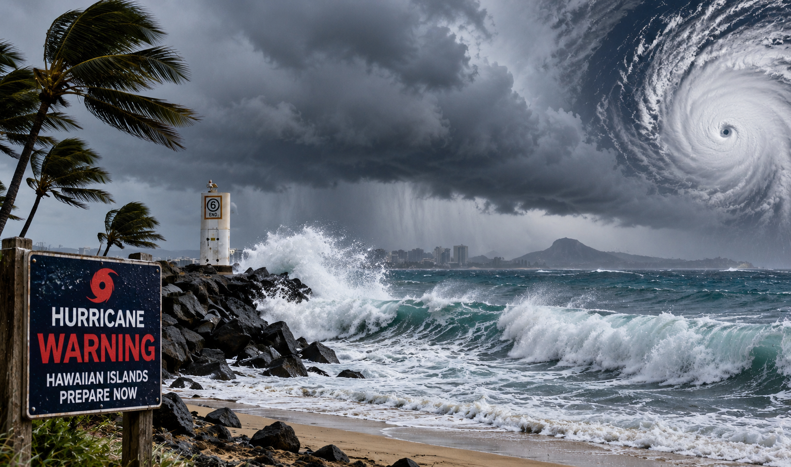
Hurricane Lowell Regains Category 5 Intensity Across the Central Pacific Ocean
Hurricane Lowell has once again intensified into a powerful Category 5 storm on the Saffir-Simpson Hurricane Wind Scale while tracking westward across the Central Pacific Ocean. The system has drawn immediate concern from meteorologists and emergency management officials as it positions itself roughly 600 miles south-southwest of Honolulu. With maximum sustained winds reaching 160 miles per hour, the storm represents a severe potential threat to the entire Hawaiian island chain. Large ocean swells generated by the robust circulation of the hurricane have already started propagating northward toward local shores, triggering dangerous surf conditions and life-threatening rip currents well in advance of any direct atmospheric impacts.
Public advisories issued jointly by the Central Pacific Hurricane Center and the National Hurricane Center underscore the evolution of the system. While the storm has maintained a steady westward progression at approximately 7 miles per hour, forecasters anticipate a gradual deceleration in forward speed over the next couple of days. This impending slowdown is expected to serve as the precursor to a significant directional shift, placing coastal communities throughout the region on high alert as they review emergency plans and secure local infrastructure.
Intensity Measurements Confirmed by NOAA Hurricane Hunter Aircraft
Direct observational data gathered by a NOAA Hurricane Hunter aircraft cruising through the core of the system provided meteorologists with precise metrics regarding its extreme potency. Instruments onboard measured the minimum central pressure of Hurricane Lowell at 922 millibars, corroborating its status as a Category 5 hurricane. Hurricane-force winds extend outward up to 60 miles from the centre, while broader tropical-storm-force winds span outward up to 160 miles, creating a vast envelope of hazardous weather.
Environmental conditions surrounding the system have remained conducive to sustaining its towering strength over warm ocean waters. Forecasters indicate that while some minor additional intensification remains possible over the immediate short term, a gradual weakening trend is projected to begin by early next week. Even so, the sheer scale of the system ensures that its atmospheric footprint will be acutely felt across multiple islands regardless of subtle fluctuations in maximum wind speeds.
Anticipated Track Shifting Toward the Hawaiian Island Chain This Weekend
Following its current westward trajectory, Lowell is forecast to make a sharp, decisive turn toward the north or north-northeast over the weekend. This pivotal navigational change is expected to be triggered by an upper-level low developing north of the Hawaiian Islands, which will effectively erode the persistent ridge steering the system and force the hurricane to stall and pivot upward toward the archipelago.