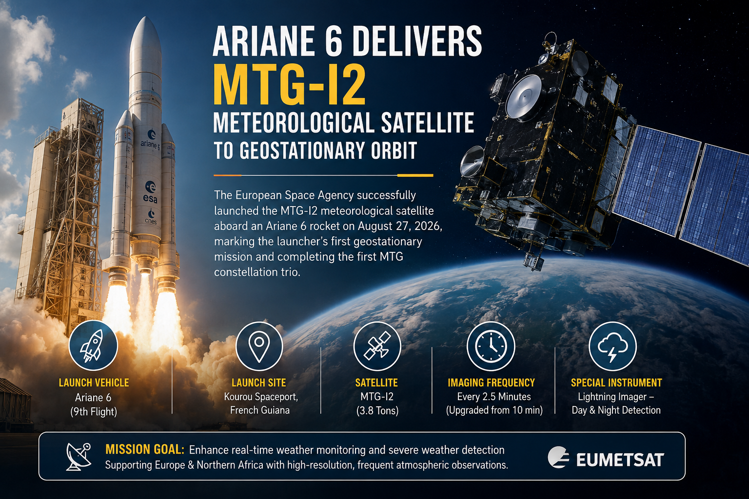
The successful launch of the Meteosat Third Generation Imager-2 on August 27, 2026, marks a pivotal technological milestone for European meteorological observation [1, 3, 4]. Blasting off from Europe's Spaceport in Kourou, French Guiana, an Ariane 6 rocket carried the 3.8-ton spacecraft aloft, marking an operational milestone for the heavy-lift vehicle [1, 3, 4]. This mission represents the ninth overall flight for the Ariane 6 launcher and its debut voyage to geostationary orbit [1, 3, 4]. By successfully deploying the payload into a geostationary transfer orbit roughly 36 minutes after liftoff, the European space program has reinforced autonomous access to space while introducing an instrument for real-time atmospheric tracking [1, 3, 4]. This achievement addresses the growing demand for high-resolution weather data as climate volatility impacts the region [1, 3].
Historic Launch Milestone from Kourou Spaceport
The liftoff from French Guiana brought years of engineering preparation to fruition [1]. Encapsulated inside the Ariane 6 fairing, the MTG-I2 spacecraft stood vertically on the launch pad before the Mobile Gantry rolled away to clear the path for ignition [1]. The vehicle's successful insertion into a geostationary transfer orbit demonstrates the capabilities of Europe's next-generation launch system [1, 3, 4]. The launcher's upper stage performed successfully, releasing its passenger into space and clearing the path for the transit phase [3]. Observers note that achieving a geostationary transfer on the ninth flight validates the rocket's structural design and multi-restart capabilities [3].
Completing the Meteosat Third Generation Constellation
With the arrival of MTG-I2, the initial trio of the Meteosat Third Generation program reaches completion, joining its predecessors in orbit [1, 3, 4]. The constellation began with MTG-I1 launched in 2022 on an Ariane 5, followed by the atmospheric sounding satellite MTG-S1 launched on a Falcon 9 in 2025 [3, 4]. While earlier spacecraft established a foundation for regional forecasting, MTG-I2 introduces improvements in observation speed and detail [3, 4]. Operating at a mass of 3.8 tons, the satellite is engineered to capture high-resolution imagery over Europe and northern Africa every 2.5 minutes, an upgrade from the 10-minute intervals of older instruments [1, 3, 4]. Furthermore, the spacecraft houses a specialized Lightning Imager capable of detecting and mapping electrical discharges day and night [1, 4]. This stream of data transforms meteorological monitoring from periodic snapshots into a more frequent feed, empowering emergency services to track flash floods, severe thunderstorms, and developing atmospheric fronts with greater precision [1, 3, 4].
Orbital Transit and Operational Commissioning Phases
Moving toward its permanent destination, the spacecraft requires between 10 and 12 days to navigate from its transfer orbit into its designated operational slot at 9 degrees east in geostationary earth orbit [3]. Once positioned in its orbital slot, the satellite is scheduled to enter a commissioning phase overseen by Eumetsat, which manages ongoing space operations and data dissemination to national weather services [1, 3]. While the exact duration of this calibration and testing period remains subject to technical fine-tuning, meteorologists anticipate the integration of its data streams into operational forecasting models [3]. The enhanced resolution will benefit key weather-dependent economic sectors, including agriculture, energy networks, transport, and tourism, by offering earlier warnings against extreme meteorological events [1, 3].